Springfield Road sits quietly off the Monaro Highway, its verges lined by open, dry paddocks that encourage a slower way of travelling.
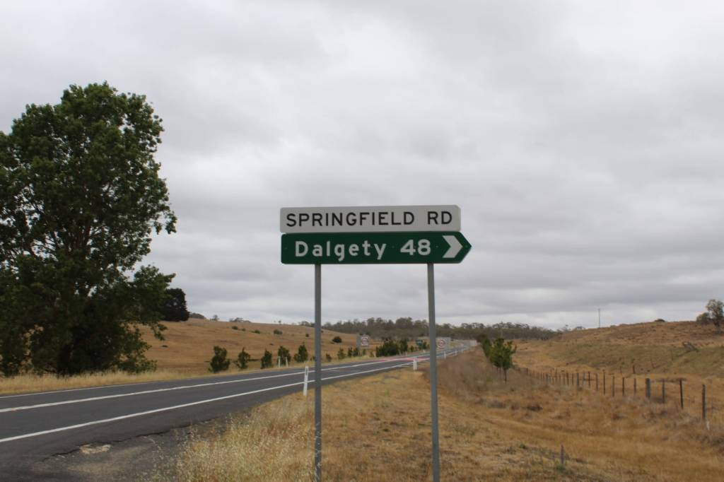
The turn-off lies just beyond the southern edge of Nimmitabel. Once it carried mail, stock, and survey parties, linking the township with Dalgety. Now, it is far less travelled, used mostly by locals and property owners avoiding the heavy holiday and snow season traffic of alternate routes.
At the start of Springfield Road stand the Nimmitabel Showgrounds, home to the annual show — a Monaro tradition established in 1903, more than 120 years ago. Across the road, the Boco Wind Farm stretches into view, its massive white structures rising above the brown hues of the landscape, modern and unmistakably foreign against the older lines of country.
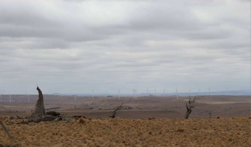
Past the wind farm, the giant turbines give way once more to open farmland and blue skies. The eerie sense of stepping into another, foreign world drops away, replaced by the gentle lull of the countryside.
Sheep nibble at the grass on either side of the road, their wool coats so brown with dust they fade back into the land that surrounds them.
Approximately 15 kilometres along the road, the sealed edges give way to dirt as the road continues to snake its way past farms, like Curry Flat and Springfield, held by the same families for generations. Their presence here is as enduring as the granite rock that lies beneath the clumps of serrated tussock spread across the land.
Six kilometres on, the dirt gives way to tar once more. We follow the signs toward Cooma, continuing onto Maffra Road, with other choices pointing on to Dalgety or back toward Bombala — roads to take up, and stories to tell, another day.
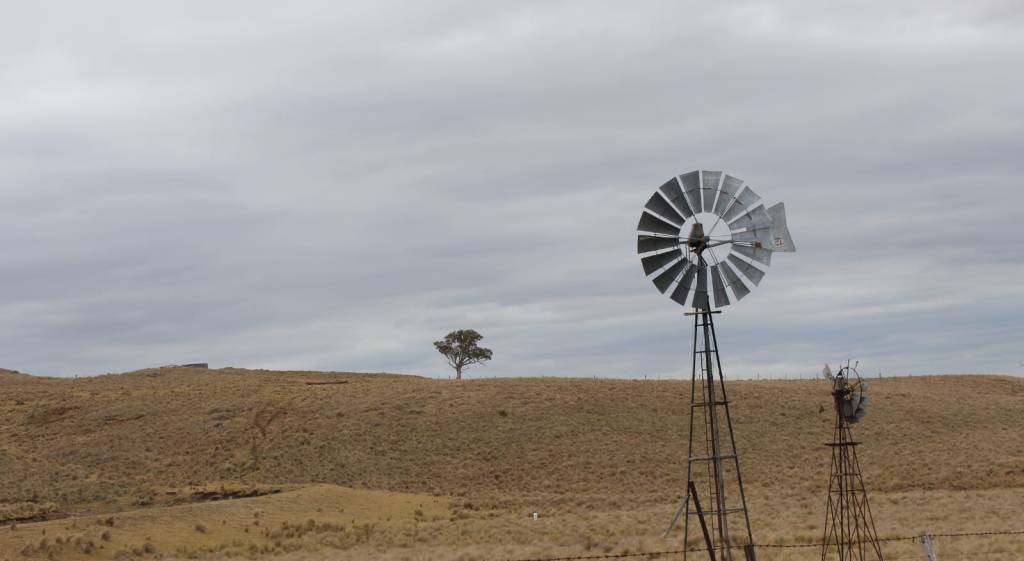
Here, a traditional windmill turns sleepily in the gentle breeze. A relic of an earlier time, its presence is comforting — a sight that sits easily within the landscape.
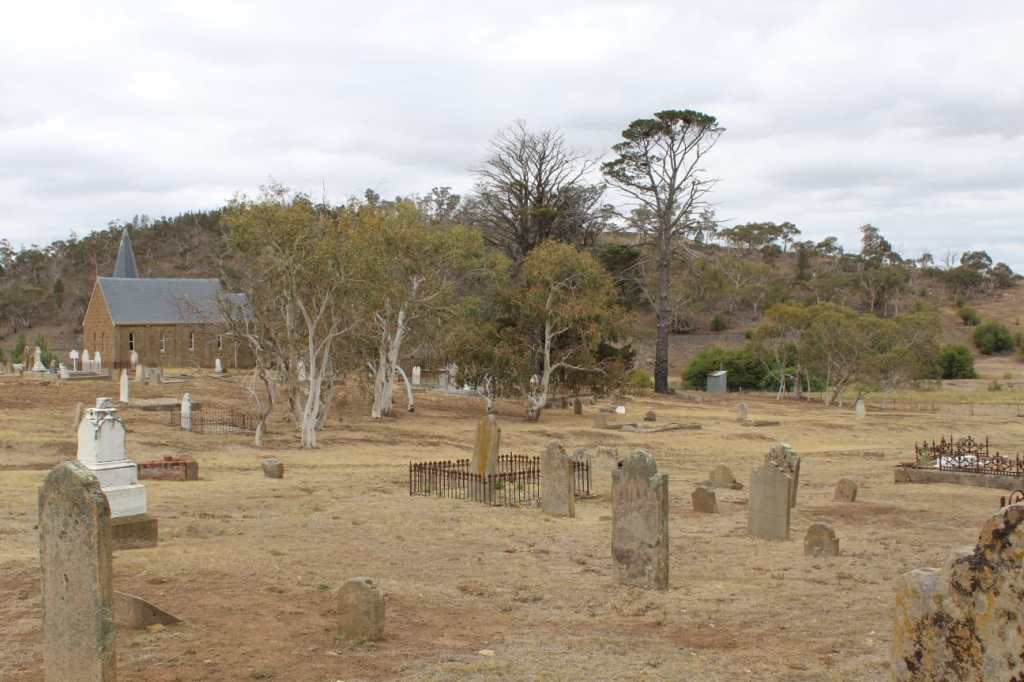
A glimpse of the Monaro Highway comes into view, and we are pulled out of the soothing rhythm of the uninterrupted landscape. Just before we reach the end of the road, a church spire rises into the skyline. Established in 1845, the Christ Church of Maneroo was the first place of worship for the early pioneers of the Monaro region.
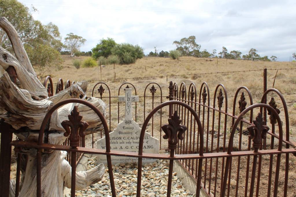
Surrounding the brick church, many of the area’s original settlers lie interred. Cracked and faded tombstones are scattered across the grounds, as worn and tired as the land they are attached to. Of the markers that can still be read, many carry the names of Irish settlers, who came to the Monaro region looking for work and found a home away from home.
The son of Sir Thomas Livingstone Mitchell lies here, shaded by a tree. Murray was only eighteen years old when he died. On an expedition with his father, who was mapping the area, he fell ill, with no medical aid available. Rather than carrying his body back to Sydney, he was buried here — a life lost to the harshness and isolation for which the region was well known.
Nearby, a wrought-iron fence borders a child’s grave. The stump of an old white tree has grown in among the iron uprights, its roots and grain twisting into the shape of an angel bent over the grave, as if in prayer. Beyond the headstone, the land of the Monaro continues on and our journey on this backroad ends.

Leave a comment